
About
What happens when you walk between a Cincinnati neighborhood that grew over generations and a village that was carefully planned almost all at once? This hike moves through Madisonville and toward Mariemont, following streets, public spaces, homes, and neighborhood centers that reveal two very different ideas about how communities take shape.
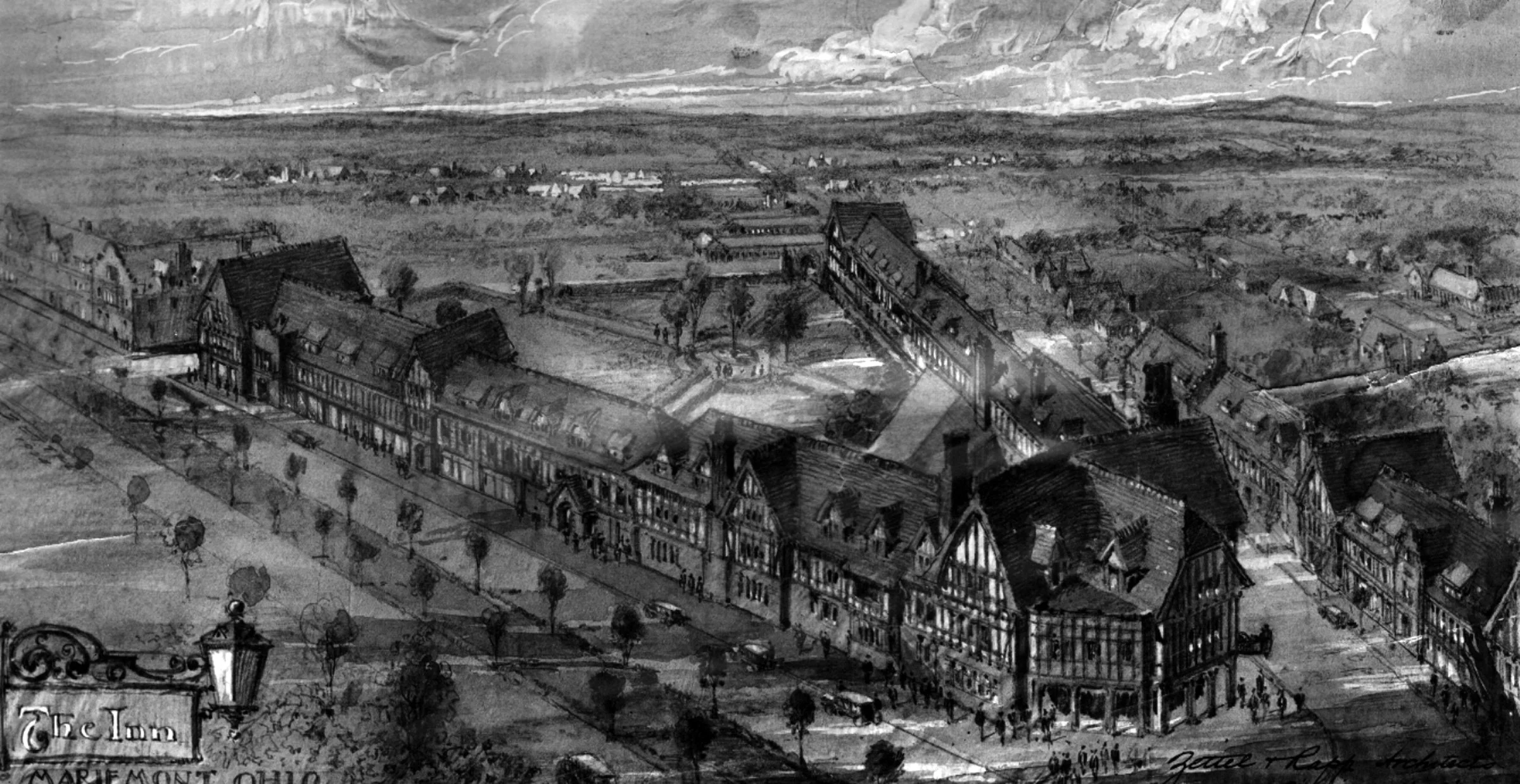
Established in 1809, Madisonville has been shaped by migration, community life, changing transportation, local businesses, and more than two centuries of growth and reinvention. Mariemont was founded more than a century later as Mary Emery’s model town, with curving streets, composed public spaces, and architecture designed to create a complete community.
Along the way, we will look at the connections and boundaries between these places, from history and municipal lines to planning, investment, identity, and perception. We will also consider an older layer of the landscape through the Madisonville Site, an important Indigenous settlement located within present day Mariemont. The walk asks what each community can teach us about how places are imagined, built, remembered, and changed.
Terrain & Landscape
We’ll walk on Sidewalks, Grass, and Wooded Park Trails.
The hike explores the Madisonville and Mariemont areas.
We will start promptly at 10:00 in front of Mom ‘n ‘em Coffee (4310 Whetsel Avenue)
What to Bring
Bring your own water, sunscreen, comfortable closed-toe shoes, bug spray, and positive energy.
Urban Ranger Goods available after our hike:
City Steps Patch - $10.00
Stickers - $3.00
Tips are welcome but not required.
Venmo transactions are preferred @urbanranger
Registration
Please register below. You may only register for yourself. There is no cap on the registration for this event. Invite your friends!